 Hocking HillsWhere all the best roads lead . . .HIKE. STAY. PLAY. YOUR HOCKING HILLS ADVENTURE BEGINS HERE!
![]()

 Hocking HillsWhere all the best roads lead . . .HIKE. STAY. PLAY. YOUR HOCKING HILLS ADVENTURE BEGINS HERE!
 ![]()


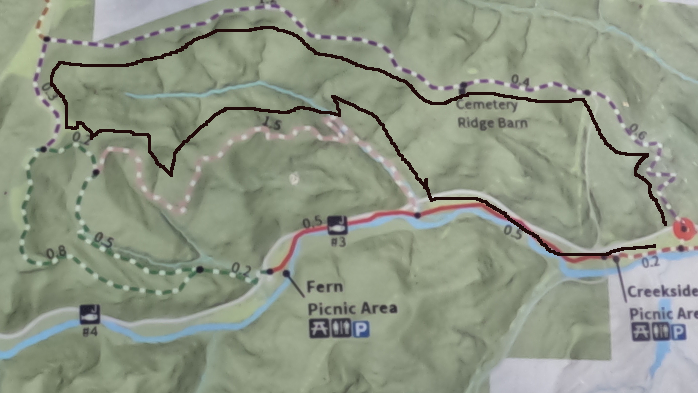
5.5 mile loop trail
Parking: Clear Creek Metro Park Parking Lot at
Creekside Meadows Picnic Area
Rockbridge, OH 43149
(39.589008, -82.577634)
Loop trail made from taking Cemetery Ridge Trail to Hemlock Trail and then along Creekside Meadows Trail.
5.5 miles up hill and moderately strenuous on an old road within a deep forest, then along a well-used dirt path (up a hill) through a hemlock forest and beside huge and beautiful rock formations, and after following beside the babbling Clear Creek back to parking area.
Some muddy patches seasonally. It is moderately strenuous. A lot of canopy during summer for a cooler hike. Hikers must stay on trail.
(No dogs allowed)
Park at Creekside Meadows Parking Area. Follow the Creekside Meadows trail near the rear of the parking area by the pit toilets 0.2 miles. Make a left at the fork which will lead toward Clear Creek Road which hikers will cross to get to the Cemetery Ridge Trail trailhead (watch for oncoming traffic). Follow the Cemetery Ridge Trail 2.2 miles where Chestnut Trail intersects. Turn left to continue along Cemetery Ridge trail another 0.3 miles. There is a sign indicating Fern Trail. Take a left where hikers immediately see a sign showing that Hemlock Trail will be in 0.3 miles. At the Hemlock Trail trailhead sign, make a left. Follow Hemlock Trail 1.5 miles until Clear Creek Road intersects and continue straight across the road (watch for oncoming traffic) where Creekside Meadows Trail intersects. Make a left on Creekside Meadows Trail and travel 0.5 miles back to Creekside Meadows Parking Area.
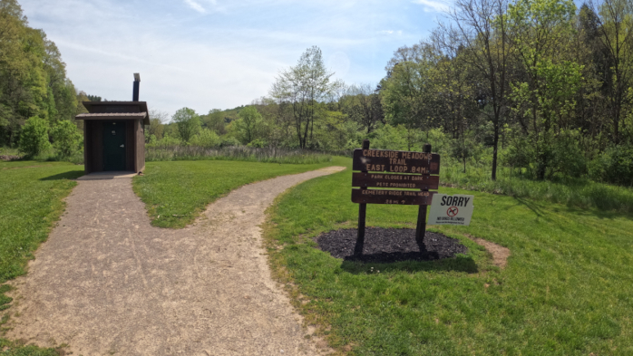
5.5 mile loop trail beginning at Creekside Meadows Parking area.
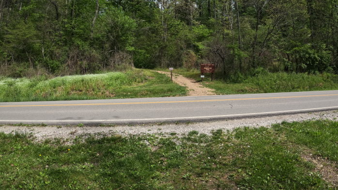
Across Clear Creek Road - where Cemetery Ridge Trail begins.
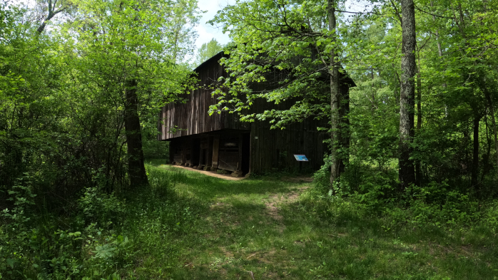
Barn along Cemetery Ridge Trail.
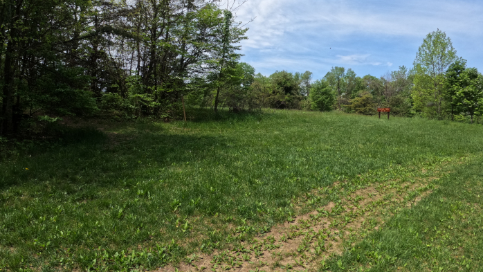
Intersection of Chestnut Trail. Hikers turn left for Cemetery Ridge Trail.
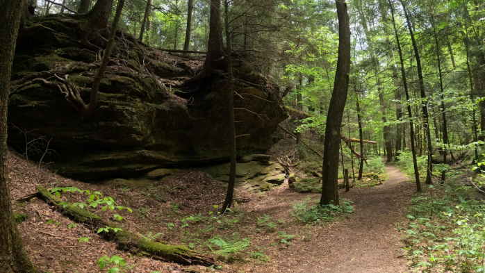
Along Hemlock Trail with rock formations and hemlock canopy.
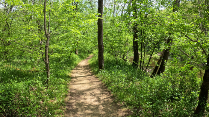
Creekside Meadows Trail following Clear Creek.
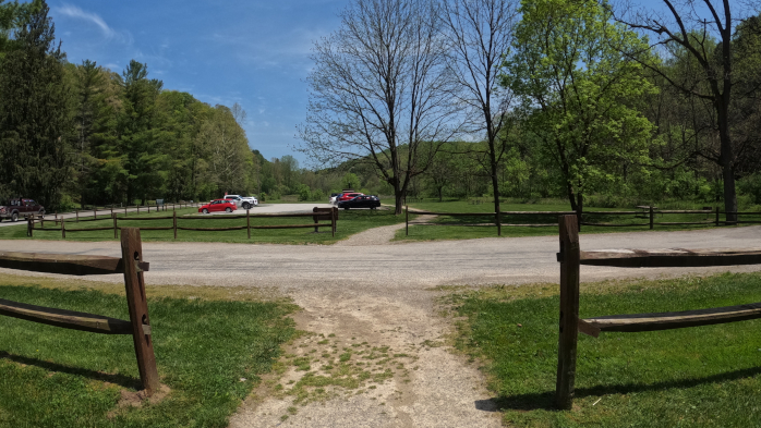
Creekside Meadows Parking Area - Beginning and end of loop.


There are seven major hiking areas in Hocking Hills State Park - All are one-way trail systems.
Ash Cave, Old Man's Cave, Rock House, Conkle's Hollow, Cedar Falls, Cantwell Cliffs, and Whispering Cave Trail. These park areas offer a unique experience for those who walk its paths no matter what season (the park is open year-round from dawn to dusk)—located on the southern edge of Hocking County. But those are just a handful. There are many hiking trails in the Hocking Hills include those at Wayne National Forest, Clear Creek Metro Parks, Lake Hope State Park, Vinton County Park District's Moonville Tunnel, and Hocking College's Robbins Crossing (with park programs) and the Athens Hock-Hocking Adena Rail Trail bikeway.